We’ve been lax about posting our hikes here lately, so even though this is a short one we’ll include it so we don’t appear to be dead or abducted by aliens.
The Black Mountain Crest trail is notoriously difficult. While we’ve hiked south from Mt. Mitchell back as far as the Blue Ridge Parkway, we hadn’t gone north on the BMCT yet. Our original intent was to travel several miles out. Upon leaving Mt. Mitchell the trail immediately drops several hundred feet. It then runs along a ridge before ascending up to Mt. Craig – the second highest peak in the Eastern US. This is where a rather sudden thunderstorm caught us. This picture is of the trail itself. Not a creek bed.
A 6000 foot ridge with sheer cliffs on either side is no place to be in a thunderstorm. With no better option we spent half an hour or more crouched in a grove of spruce trees. When the storm passed we were drenched. Worse than that, the already difficult trail was now slickrock with water streaming down it. We decided we should at least finish summiting Mt. Craig. It turns out that just 100 feet up the trail or so was a huge rock overhand that would be useful in future pop-up storms.
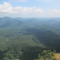
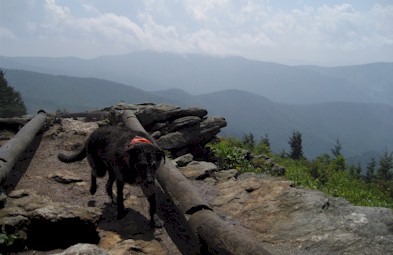
The view from Mt. Craig is worth the difficult, if short (1 mile each way) hike. From the top you can see… well, we could see cloud. Eventually the clouds cleared long enough for us to snap a few pictures and see the daunting line of thunderstorms across the western horizon making their way towards us. Reluctantly we decided that it just wasn’t a good day to be hiking on the highest ridge around and we headed back to Mt. Mitchell. We actually reached the car just seconds before driving rain started again, followed shortly by hail so perhaps that was a good decision.


