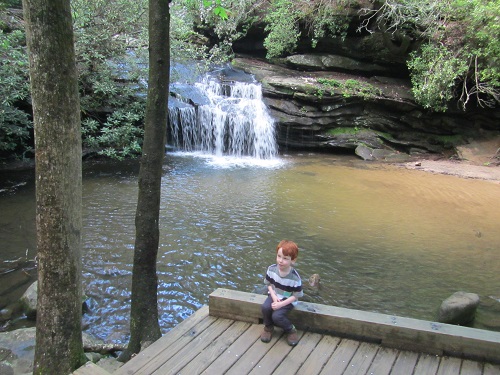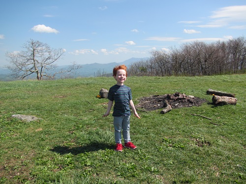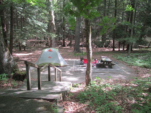
Having broached the ten mile mark in Utah just a month before we did it again here in the Virginia High Country (this would become our son’s new longest hike at 11 miles). We were camping nearby at Grindstone and entered along the AT which quickly put us in the Lewis Fork Wilderness

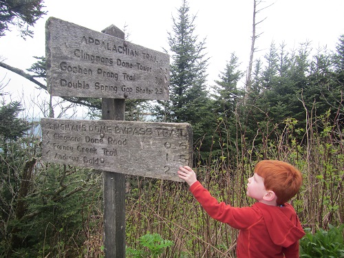
See? There’s even a sign. The AT eventually runs along the edge of some large open meadow spaces where you may well find wild ponies. The wild ponies definitely make this area unique as far as hiking.

Here’s a wild mare and her foal. Don’t mess with the foals, the mares are small as horses go but still pretty solid and willing to knock people around to protect their young. Also, even when they’re being friendly (like licking the salt off of you) they have a tendency to nip.
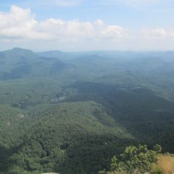
From here the AT goes very close to the summit of Mt Rogers, although you’d still need to take a side trail to reach it. The views are spectacular at the branch for this side trail. We were told the views from Mt Rogers itself were non-existent (at least in May) so we skipped it. Thomas Knob shelter is also up here and it’s completely infested with horses.

This could well go from cute to annoying if you were actually spending the night here. We weren’t so we looped around at Rhododendron Gap and headed back towards the road on the Virginia Horse Trail. This looks reasonable on a map. It’s not that bad but the horse trail is quite a bit rougher than the A.T. even though it doesn’t have quite as much altitude change. Good news though you traverse several more meadows filled with wild ponies. We even saw a cow in this section and have no idea where it came from.