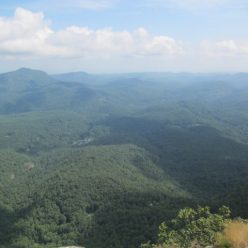
Mill Ridge was a small farming community located on the east bank of the French Broad River just up from the town of Hot Springs. Nowadays there are a couple of forest roads, a lot of mountain biking trails and a few foundations remaining. The large open areas up here were once tobacco fields.
The AT leads southbound up into the Mill Ridge area from Tanyard Gap (US 25/70 outside of Hot Springs). There’s also a forest road that leads up to a parking area for the bike trails. Where the AT leads back down into the forest there’s an old dam with a large pond above it. We followed the AT as far as the Pump Gap loop trail which makes a circle with the AT.
Along with the dam and some building foundations, the old Mill Ridge Cemetery is located just a little ways off the Pump Gap trail. Most of the stones have fallen over or been broken but it’s still a curious thing to find out in the middle of the forest.
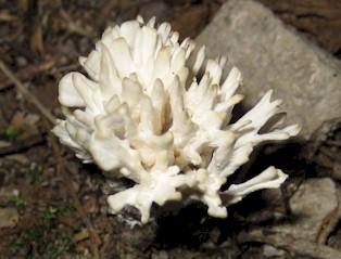
Overall this is a fairly easy hike of about 5 to 6 miles. It’s probably more difficult if done from Hot Springs due to the elevation gain. We did come across a couple of salamanders, but they refused to hold still for photographs, so we have to include this fungus instead.


